Cahaba River Crossings
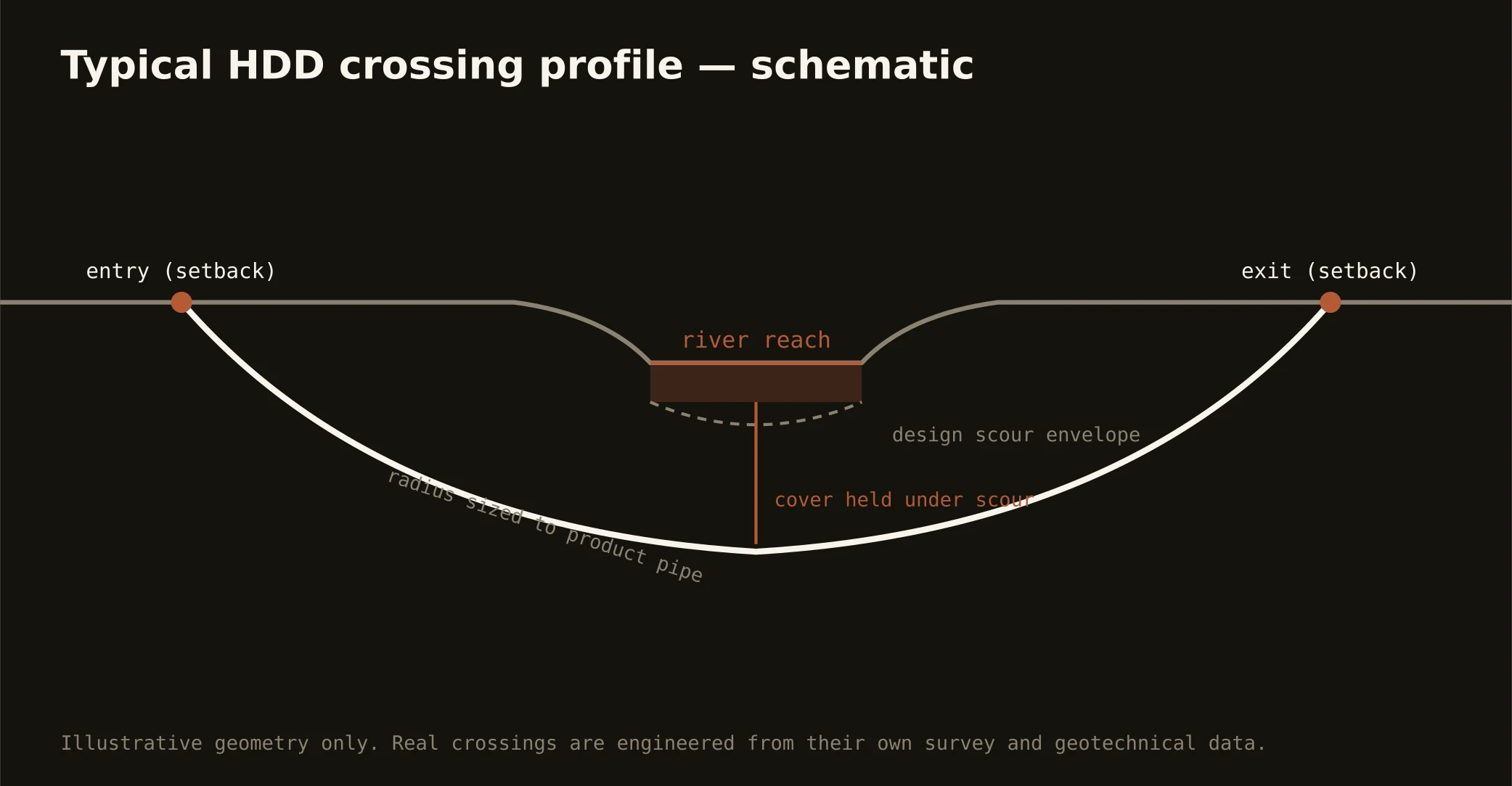
The Cahaba is a small river with a national reputation: the metro's principal drinking-water source and one of the most biologically diverse rivers on the continent — lilies, snails, and fish found nowhere else — winding out of the ridges through Shelby and Bibb on its free-flowing way south. Crossing it is the signature Birmingham bore precisely because the stakes are stated up front: profiles engineered through the folded rock beneath the channel, entry and exit set well back from the riparian corridor, and a fluid program run at drinking-source-and-habitat grade, with containment staged both banks, conservative pressures over the karst-prone reaches, and the response plan written before the pilot turns.
The authority stack reflects the river's standing: state water-quality certification and the environmental review its protected reaches invite, the water utility's source-water interests, habitat considerations for species with federal listings, and the road or rail owner overhead. Our quotes name the stack for your actual reach and schedule to its honest clocks — on this river, the stewardship is the schedule, and we'd have it no other way.
The same doctrine covers the metro's other waters at their own registers: the Black Warrior's forks and their reservoir reaches west, the Coosa's lake chain east through St. Clair, and the valley creeks — Village, Shades, Five Mile — threading the city, each with the folds beneath and the appropriate authorities above.