How Directional Drilling Works in Birmingham Ground
The folds: reading strike and dip
Birmingham sits in the southern Appalachians' last great folds: long northeast-trending bands of sandstone, shale, limestone, and dolomite, tilted and stacked so that the resistant sandstones hold the ridges — Red Mountain, Shades, Sand — and the carbonates floor the valleys the city fills. The drilling consequence is structural: an alignment's rock is set by where it crosses the bands, a bore across strike can change formations mid-shot, and depth changes the answer too where the beds dip. Strike-and-dip quoting names the expected bands per reach, prices each class honestly, and treats the geologic map as the first estimating document — in this metro, it genuinely is.
Karst valleys and the mined ledger
Two local chapters ride the folds. The carbonate valleys behave like carbonate: springs, solution features, and void potential that put karst manners — conservative pressures, monitored returns, void-aware profiles — into valley work as standard practice. And the industrial century left mined ground in defined belts: Red Mountain's ore workings, the coalfields through Walker and western Jefferson, scattered legacy operations elsewhere. There, the mine-legacy check is a scoping step with teeth: records pulled, undermining asked about, profiles drawn accordingly. Neither chapter is drama; both are diligence, and the quote carries them where the maps say so.
The sequence, valley-and-ridge edition
The bones are standard — locates plus private designating, potholes on every claimed utility, pilot on profile, ream to about one and a half times the product, pull, restore. Birmingham bends: band tooling staged by the structure, karst fluid manners in the valleys, the mine check in the historic belts, spring-storm season respected in staging, and restoration that honors surfaces from over-the-mountain lawns to steel-era brick.
Who owns what you're crossing
Municipal streets carry their cities' processes across Jefferson's crowded municipal map and the six counties beyond; county departments cover the unincorporated ridges; ALDOT permits the state system, 280, 459, and the interstates. The Cahaba brings its stewardship stack; the Warrior's and Coosa's reservoir reaches bring theirs; railroads permit the corridors the steel era built; and the mined belts bring their ledger to the scoping table. The quote names every owner on your alignment; each one is schedule.
Straight answers
Will you hit rock on my bore?
In folded country, plan on it somewhere — the question is which band: ridge sandstone drills as hard clean rock, valley carbonates drill well with karst manners, and the shale slopes between run gentlest. The quote names your band from the geologic map, and geotech turns the band into a plan.
How deep do bores run under Birmingham streets?
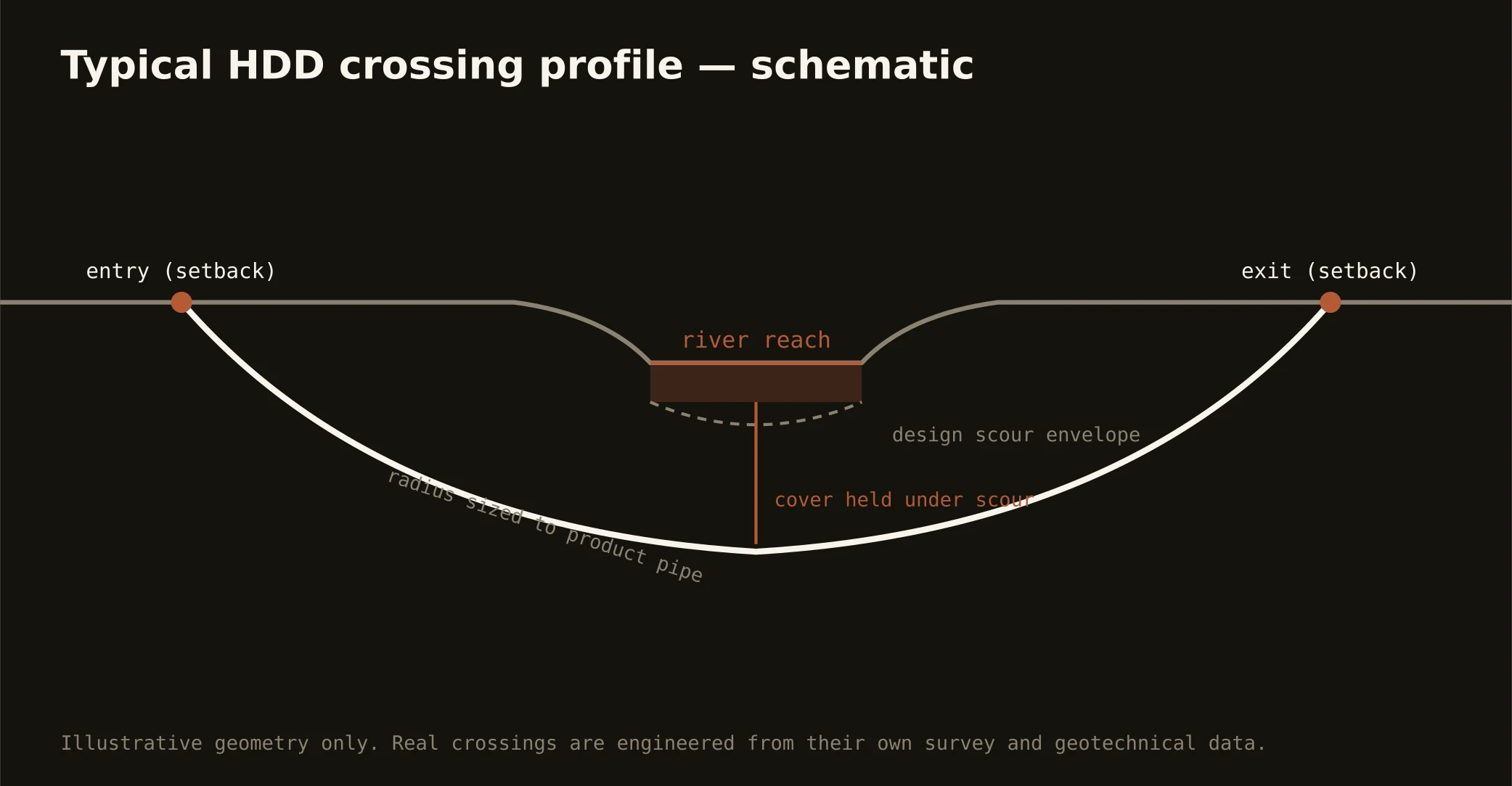
Cover follows the owning authority's standard and sits below everything potholed on the alignment; river crossings run to their stewardship engineering, and mined-belt profiles run to what the ledger allows. In dipping rock the depth can change the formation, so the plan states both your number and your band at it.
Is karst here as serious as Florida's?
Different family, same respect: Birmingham's carbonate valleys produce springs, solution features, and occasional voids rather than Florida's dramatic sinkhole news, and the answer is procedural — conservative pressures, monitored returns, void-aware profiles in valley reaches. It's a manners question, and our valley quotes carry the manners as standard.
Ready to put a number on a real crossing? Send the scope — a person prices it.